Australia Heatwave: Extreme Temperatures and Fire Danger

Southern Australia is bracing for its most intense thermal event since the devastating Black Summer of 2019-20, as a slow-moving band of extreme heat traverses the continent from west to east. Broad heatwave warnings are currently in effect, impacting vast swathes of the country including Western Australia, South Australia, Victoria, New South Wales, Queensland, Tasmania, and the ACT.
According to senior meteorologists at the Bureau of Meteorology, Wednesday signals the beginning of a grueling three-day period for the southeastern states. Forecasts suggest that temperatures will surge between 8C and 16C above the seasonal average. This anomaly translates to blistering conditions, with inland regions expected to hit the mid-to-high 40s, while coastal areas will likely see temperatures in the low 40s.
Forecast Timeline and Peak Temperatures
The weather pattern is set to deliver baking, stagnant heat initially, followed by shifting winds that will elevate risks later in the week. By Thursday, wind speeds are predicted to increase, resulting in high to extreme fire danger ratings across significant portions of Victoria and South Australia.
Residents in major metropolitan areas and regional hubs should prepare for the following projected conditions:
- Adelaide and Melbourne: Both cities are likely to experience peaks in the 40s by the middle of the week.
- Regional Hotspots: Parts of eastern South Australia and north-west Victoria are facing potential highs of 46C or 47C on Thursday.
- Sydney: A cool change entering South Australia on Friday will drive the heat mass eastward, causing temperatures in Sydney to spike to 39C by Saturday.
Safety Advice and Health Precautions
With the heatwave expected to linger, many communities will endure consecutive days of temperatures in the mid-40s. The persistence of hot days coupled with warm nights prevents the body from recovering, prompting health experts to issue urgent advice.
To mitigate health risks, the public is advised to:
- Prioritize hydration and remain indoors whenever possible.
- Utilize air conditioning or fans to stay cool.
- Monitor the well-being of vulnerable demographics, including the elderly and young children.
- Ensure pets have adequate shade and water, as they are highly susceptible to heat stress.
The Atmospheric Setup
The severe conditions are being driven by a meteorological "blocking pattern." This phenomenon is the result of a high-pressure system situated over the Tasman Sea interacting with a monsoon trough located over northern Queensland. This specific alignment allows the trough to funnel intense heat from the west deep into the country.
While the south bakes, northern Queensland faces a starkly different reality. Rain and storms are forecast to persist, with major flood warnings remaining active for the Western and Flinders rivers.
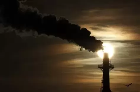
Climate data indicates a long-term trend contributing to these extremes. Australia's national annual average temperature has risen by roughly 1.5C since 1910. This shift in the climate baseline is linked to an increase in the severity and frequency of extreme weather events, including dangerous bushfires and prolonged heatwaves.